What Is Super Fog and Why Is It So Common in Louisiana?
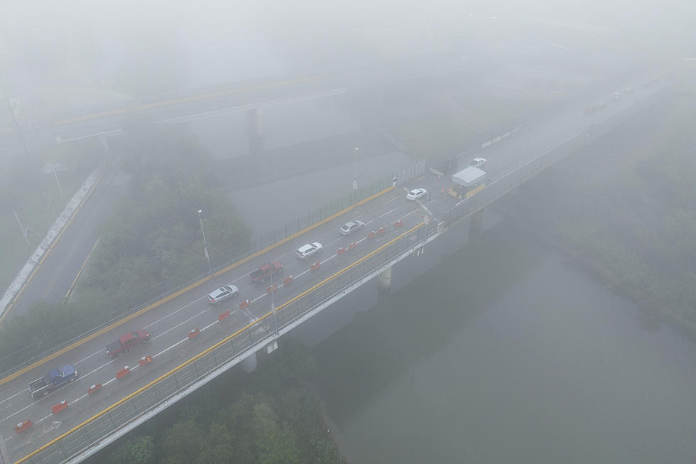
Last months 158-car pileup to our east has brought up a term you may not have heard before: SuperFog. Even I was surprised that it is not just a lot of ordinary fog we see on a chilly morning. SuperFog is sort of an 'enhanced' fog that is only found in some specific places, especially coastal areas like Louisiana.
What is SuperFog?
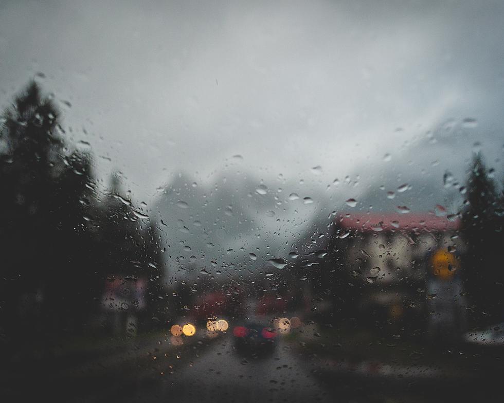
According to the National Weather Service, SuperFog is a thick, dangerous form of fog that forms in certain weather conditions. It's not like the regular fog that usually disappears quickly when the sun comes out to "burn" it off. This one can stick around for hours and even days, making it hard to see clearly. SuperFog is made up of water droplets that hang low to the ground, creating a dense and difficult-to-navigate mist:
Super fog forms when a mixture of smoke and moisture released from damp smoldering organic material such as brush, leaves and trees, mixes with cooler, nearly saturated air. Visibility is lowered to less than 10 feet. Under light wind conditions, super fog meanders through low terrain areas such as creek beds or drainage ditches. Super fog can be very dangerous when present over highways, and has been the cause of several large, multi-vehicle pileups.
When it occurs, it can make the air feel damp and chilly. This week, it was the fog mixed with smoke from a nearby marsh fire that led to the massive deadly crash in Ponchatoula.
Why Does Louisiana Have So Much SuperFog?
Here in Louisiana, we're proud of our beautiful coastlines and wetlands. We're surrounded by water on many sides, with the Gulf of Mexico to the south. This means that the warm, moist air from the Gulf of Mexico mixes with the cooler air over the land. When this happens, it creates the perfect conditions for SuperFog to form. Add in wildfire smoke and you have very dangerous conditions. Further inland, Louisiana has lots of swamps and marshes, which add even more moisture to the air. Our unique geographical features, including the Atchafalaya Basin, contribute to the frequent occurrence of SuperFog across the state.
LOOK: The most expensive weather and climate disasters in recent decades
Gallery Credit: KATELYN LEBOFF
More From 99.9 KTDY