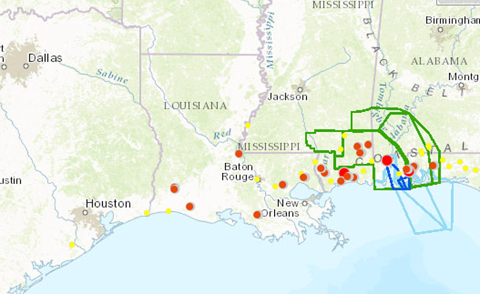
Tropical Storm Cindy Makes Landfall
In the marshes of southwestern Cameron Parish, the center of circulation of Tropical Storm Cindy slogged ashore in the pre-dawn hours of Thursday. The National Hurricane Center's 4:00 AM advisory plotted the position of the storm at 29.9N/93.6W. That is approximately 30 miles southwest of Lake Charles Louisiana.
The winds with the system have dropped significantly from yesterday at this same time.Then the storm had a maximum sustained wind estimated at 60 mph. This morning those winds are barely above the tropical storm threshold at 40 mph.
The National Hurricane Center has discontinued the Tropical Storm Warning for areas east of Morgan City Louisiana and West of High Island Texas. We expect those warnings for the rest of the coastline to be discontinued later today as the storm moves away from the coast and continues to weaken.
The system is now moving to the north at 12 mph. This will carry the center of circulation up the Louisiana, Texas state line. It should weaken into a tropical depression by later this afternoon.
The system is then forecast to make a turn to the northeast on a track that will carry it across southern Arkansas, western Tennesse and eventually over the Appalachian Mountains. Forecasters are concerned that the moisture from Cindy could pose a flood threat for other parts of the country before the entire system moves out to sea over the weekend.
More From 99.9 KTDY


![Cindy Hits Cameron, Moves Toward Lake Charles – [VIDEO]](http://townsquare.media/site/149/files/2017/05/ryan-street-flooding.jpg?w=980&q=75)
![Wire Dangling From Station Tower, This Can’t Be Good [VIDEO]](http://townsquare.media/site/34/files/2017/06/Screen-Shot-2017-06-22-at-6.39.12-AM.png?w=980&q=75)


