Severe Weather Possible Across South Louisiana Today
Forecasters with the Storm Prediction Center have placed much of Louisiana at a risk for severe storms and possible tornadoes on Wednesday. The catalyst for the strong storms is an upper-level low-pressure system that is centered over the southern plains this morning. That system is slowly moving eastward and the atmospheric instability associated with it will give rise to storms across the region later today.
Current radar scans out of north-central Texas show a large area of strong storms moving in an easterly direction. As of 0200 AM, the line of storms was still west of the Houston metro but advancing rapidly. Much of that area is currently under a severe thunderstorm watch at this time. Based on model guidance the leading edge of the showers and storms in this line should cross into western Louisiana by sunrise or shortly thereafter.
While many in South Louisiana did receive showers and thunderstorms yesterday much of the region was spared significant precipitation. Forecasters say they could be because of the Saharan Dust Layer which moved into the region over the weekend.
That dust may have dried things up a bit yesterday but that additional influence in the atmosphere could bring about some interesting developments as showers and storms develop across the area today. Forecasters have noted that sometimes the presence of Saharan dust can enhance the downdrafts produced by thunderstorms. This could result in strong straight-line winds.
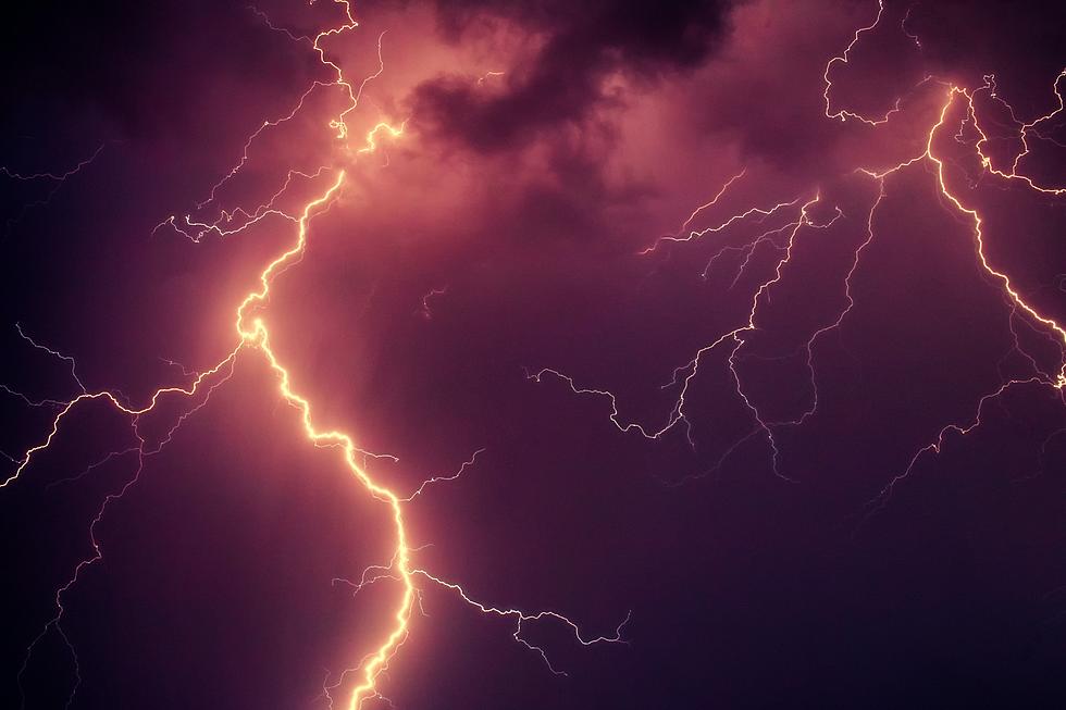
Excessive amounts of dust in the atmosphere have also been known to spark, literally, more lighting. So, don't be surprised if some of the storms that rumble across the area today include a light show courtesy of Mother Nature.
Rob Perillo, Chief Meteorologist with KATC Television provided us with that graphic look at the HRRR Forecast Model solution. As you can see by the time stamp, if the forecast timing holds, the bulk of the heavier storms should push through the Lafayette area by mid-morning.
Rob also provided some rainfall data courtesy of the HRRR model. Based on that model's guidance rainfall amounts of an inch to two inches will be common across many locales in South Louisiana. Although it does look as if higher rainfall amounts will take place north of the US 190 corridor.
Conditions should begin to improve later this evening with a very nice forecast for the area set for Thursday. That nice weather should hold through the balance of the Memorial Day Weekend. Oh, one more thing, Rob says we might need to keep an eye on the tropics, especially the southwestern Gulf of Mexico for the middle of next week.
We'll keep you posted. And if you're planning a little getaway for the long holiday weekend or for any time this summer, you might want to give these Airbnbs a look.
Eight Amazing Airbnbs in Louisiana
More From 99.9 KTDY
