Data compiled from NOAA shows which Louisiana parishes are most likely to experience tornadic activity. Some of those parishes have already had touchdowns this year.
Severe weather watches and warnings have already been posted in many parts of Louisiana. Here is where the storms are now and where they are expected to go.
Forecasters with the Storm Prediction Center are suggesting a stormy start to the work week. Could affect your school day and your plans to view the eclipse.
Forecasters with the National Weather Service are suggesting that the start to Louisiana's work week on Monday will be raucous with a severe storms looming.
The National Weather Service says the threat of strong to severe storms across Louisiana is even more likely than first thought. Here's the timing on the storms.
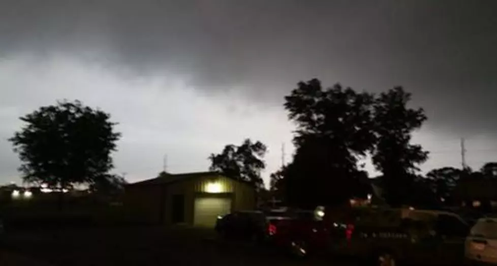
Two lines of strong storms are marching across South Louisiana this morning. Severe weather warnings have been issued as the storms move along the I-10 corridor.
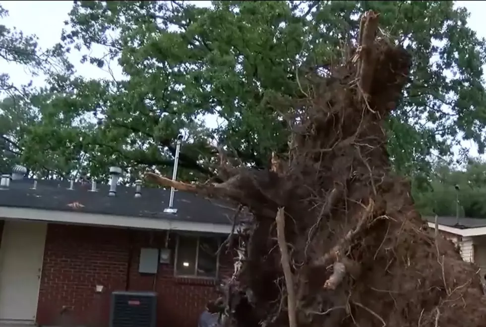
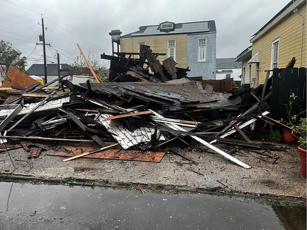
Gusty winds, heavy rain, possible hail, and maybe even a tornado, that's what Louisiana could expect with Thursday's forecast round of strong to severe storms.
National Weather Service Forecasters are predicting strong to severe storms to begin Louisiana's workweek. There could be a threat of flash flooding as well.
The timing has once again shifted on the wet weather forecast for Louisiana this weekend. Mardi Gras events could be interrupted by storms on Saturday and Sunday.
Louisiana is looking ahead to an Arctic blast next week but first there's a severe weather event we need to be prepared for on Thursday night. Here's the timing.
As one storm system moves out of Louisiana residents are being encouraged to be aware of the state's next severe weather threat which is forecast for later this week.
With schools dismissing early many Louisiana kids may find themselves at home during today's storms. Does your child know what to do if severe storms threaten?
Forecasters have placed more of Louisiana at an enhanced risk of severe storms, rains, and damaging winds today. Here's when to expect the worst where you live.