Latest On Dorian Plus Four Other Tropical Trouble Spots
The peak of the Atlantic Hurricane Season is a week from tomorrow. Mother Nature is right on cue with a very active tropical pattern across the Tropical Atlantic Basin as we move into September.
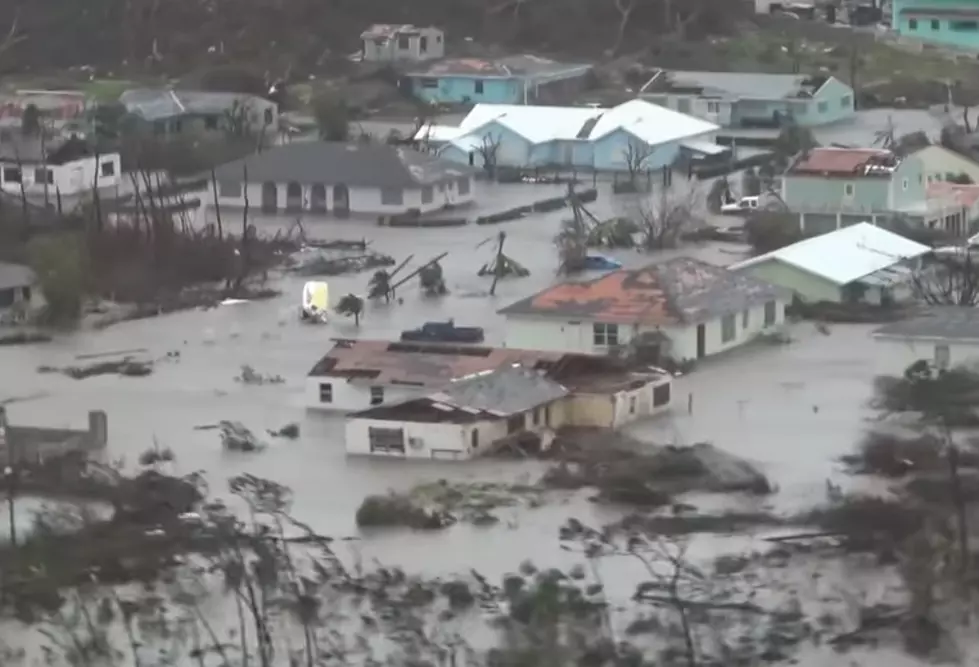
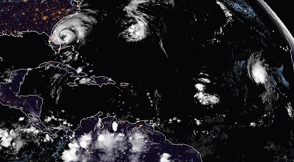
The storm grabbing all the headlines is major hurricane, Dorian. The good news about Dorian is the track forecast will keep most of the devastating effects of the storm offshore, at least for now. The bad news is that any change in that track forecast means a lot of damage.
Forecasters believe that Dorian will hug the coastline of the southeastern United States but stay far enough offshore to keep the "bad side" of the storm away from populated areas. Dorian is still a watch, wait, and see storm.
The other four areas of tropical trouble include on right in the middle of the Gulf of Mexico. This system is given a 50% chance at strengthening over the next few days. The reason this system isn't filling up your news feed is the track forecast. Most tropical models pull this system off to the southwest and toward Mexico by the end of the week.
Experience has taught us to never sleep on a developing tropical system in the Gulf, no matter where forecasters say it's heading. Hopefully, this system will just be a rainmaker and will not cause major problems for anyone.
There are three other areas of tropical concern. Two of them are just off the coast of Africa. One of those systems is forecast to strengthen rapidly over the next five days. Fortunately, it looks as if the track of that storm system will keep it out to sea.
Another tropical system in the middle of the Atlantic is expected to strengthen as well. It too should not be a threat to any landmasses, at least for the foreseeable future.
More From 99.9 KTDY


![[PICS] Hurricane Hunter Captures Eerie Pic Of The Eye Of Hurricane Dorian](http://townsquare.media/site/33/files/2019/09/Dorian.png?w=980&q=75)
