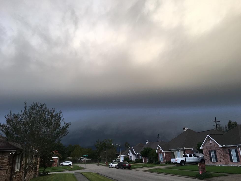
Timing Louisiana’s Severe Weather Threat for Monday
Forecast models and National Weather Service Offices in Lake Charles, Shreveport, and Baton Rouge/New Orleans are in agreement that Monday will be a day of storms for most of Louisiana. How strong and where the strongest storms will manifest is still being discussed by forecasters as well as when the worst of the weather will push through different communities in the state.
The Storm Prediction Center has placed a large portion of southeast Texas, southern Louisiana, southern Mississippi, and southern Alabama at a slight risk for severe storms on Monday. The SPC has been monitoring conditions around this potential severe weather outbreak for more than a week so there is a certain degree of confidence in the forecast.
One of the conditions that will be quite noticeable with the storm system will be the increase in winds. Wind gusts in excess of tropical storm force are expected across all of the I-10 corridor during the day on Monday.
This has led to multiple advisories concerning wind gusts, wave heights, and other problems offshore. The graphic from the National Weather Service Office in Lake Charles shows the potential wave heights that could affect Louisiana's shoreline on Monday.
As far as the timing on the stronger storms and the heavier rain showers goes, it will shift from west to east as the storm systems moves through. For the Lake Charles area the heaviest showers and storms will likely begin during the morning commute.
In Lafayette the stronger storms with the heaviest rain are not anticipated until mid-morning on Monday. For Baton Rouge and New Orleans the stronger storms will move in at lunchtime or later. It is because of this anticipated severe weather that many festivities surrounding the inauguration of Louisiana's next Governor in Baton Rouge have been moved to today.
How Much Rain Will Louisiana Get With the Monday's Storms?
Most of the forecast models that deal with rainfall are putting our storm total in Louisiana to be between one and two inches. However, the National Weather Service Office in Lake Charles feels that storm totals over the next few days could be a bit more robust.
The NWS has issued a Flood Watch for most of South Louisiana through Monday. In that watch the Weather Service warns of rainfall totals in excess of two inches to as much as four inches. There is also the potential that some areas of the state could receive as much as six inches of rain before the system moves out of the area Monday evening.
The Weather Prediction Center has placed almost all of southern Louisiana at a slight risk for excessive rainfall events on Monday. However, there is a smaller subset of that area that includes, Lafayette, Iberia, St Martin, and St Mary Parishes. Residents in those areas are at a moderate risk for an excessive rain event and that is where the Flood Watch has been posted.
Behind this weather system temperatures will be cooler. You'll notice them a few degrees cooler on Tuesday but the biggest drop will likely come on Wednesday. That's when forecasters suggest that temperatures along the I-10 corridor could drop to freezing or below for a short period of time.
11 Tickets That Will Raise Your Insurance Rates and by How Much
Gallery Credit: Bruce Mikells
More From 99.9 KTDY


![Man Seen Walking With Alligator Over Shoulder in South Louisiana [PHOTOS]](http://townsquare.media/site/29/files/2023/06/attachment-Screen-Shot-2023-06-28-at-3.22.19-PM.jpg?w=980&q=75)

