Sunny and Seasonable – Acadiana’s Forecast for the Workweek
For the past three weeks, residents of South Louisiana have enjoyed some rather spectacular Mondays. However, that nice weather has turned tumultuous every Tuesday for the past three weeks. This looks like the week where the weather forecast will finally cooperate and give us a chance to dry out and drain properly around the area.
Last week's storm system created severe weather watches and warnings across much of the area. In fact, flood warnings are still in effect in some parts of South Louisiana through at least Monday night. Most of those flood warnings are for areas along and near bodies of water. The flooding conditions should improve in the warned area over the next 24 to 48 hours as these bayous, creeks, rivers, and coulees, crest and slowly recede.
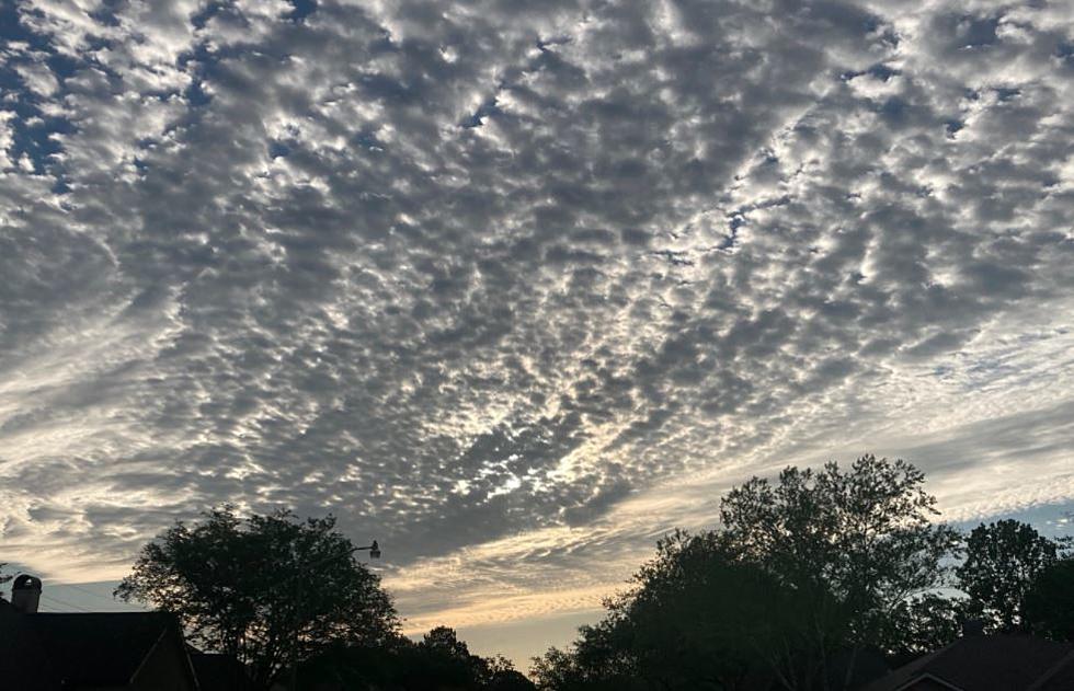
The forecast for the balance of the workweek is calling for mostly sunny skies across the region. Granted there will be a few clouds sliding in and out of the region during the day today. Forecasters with the National Weather Service Office in Lake Charles suggest that the abundant sunshine will be accompanied by a pretty fresh breeze.
That bit of a breeze accompanied by temperatures that are on the cool side of seasonable will make for a comfortable couple of days across the region. Early morning low temperatures will dip into the upper 40's or lower 50's for the next few days. Afternoon high temperatures will reach into the upper 60's to lower 70's.
The next significant threat of showers is not forecast to enter South Louisiana until much later this week. Saturday currently looks like a day in which umbrellas might be necessary. However, those long-range forecasts often need to be tweaked as time goes by, but right now it looks as if Saturday will be our wet day this week.
Just in case the sunny skies have you thinking of the beach plans for later in the Summer, you might want to consider this an option, well if you have a large family and more than a few friends.
Most Expensive Home for Rent in Destin This Summer
More From 99.9 KTDY