Excessive Rain Threat Continues for Louisiana
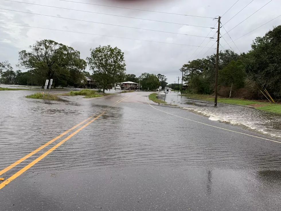
The entire state of Louisiana has been placed at risk for "excessive rainfall" through at least the middle of the week and possibly longer. The high water threat comes almost six years to the day that much of South Louisiana was inundated by floodwaters in the Flood of 2016.
You might be asking yourself, "what exactly does the probability of excessive rainfall really mean"? The National Weather Service defines the probability of excessive rainfall this way,
the Weather Prediction Center (WPC) forecasts the probability that rainfall will exceed flash flood guidance (FFG) within 40 kilometers (25 miles) of a point.
The reason for the excessive rain threat, as described by the Weather Prediction Center is actually twofold. There is a frontal boundary and associated low-pressure system centered over north central Texas this morning. The low and the frontal boundary are creating instability in the atmosphere. That combined with an overabundance of Gulf of Mexico moisture is the reason for the heavy rain threat.
That green blob you see in the water vapor satellite image over Texas suggests where the most moisture is available. That area of moisture is forecast to slide eastward during the week. This will put the I-20 corridor of North Louisiana under the gun for some torrential downpours today through at least Wednesday.
Flood watches have been posted for the Shreveport, Ruston, and Monroe areas already. Those watches extend almost as far south as Alexandria and depending on how much rain falls they could be extended even further south or east.
Further to the south, our rain chances will remain quite high throughout the week as all of this moisture eventually moves off to the east. However, we won't be without heavy downpours as well. Rainfall totals of two inches or more will be common across much of Louisiana during the day on Tuesday with another two or more inches possible in some locales on Wednesday as well.
The most notable difference between the rain we anticipate this week versus the rain and storms we experienced last week is this. There won't be a "break" at night. Last week, showers and storms dissipated in the overnight hours when the daytime heating went away. This week, rain chances will remain high even in the overnight hours through at least Wednesday night.
And if you needed something else to be concerned with, there is a tropical wave in the far eastern Atlantic that has been given a 20% chance of strengthening as it moves westward. That system is still thousands of miles away from any landmass and there is plenty of time to wait and watch.
Startling Images of Hurricane Ida Aftermath
More From 99.9 KTDY