National Hurricane Center Warns of Potential Tropical Cyclone in the Gulf of Mexico
(KATC) The National Hurricane Center has issued advisories for states along the Gulf of Mexico warning of an impending tropical cyclone. A Tropical Storm Warning has been issued from Intracoastal City to the Alabama/Florida border.
Tropical Cyclone 3
Currently, Tropical Cyclone 3 is moving north at 9 mph with a wind speed of 30 mph.
When will the system reach Louisiana
The storm system will reach tropical storm strength in the Gulf of Mexico before reaching the Louisiana coast late Friday. The potential for severe flooding and damaging winds should remain east of Acadiana.
On and off showers associated with the storm system with embedded storms should start Friday afternoon. The heaviest rainfall should remain well east of Acadiana, affecting Mississippi and Alabama more.
Rainfall and winds should start to move out on Monday but keep a chance for rain in the forecast for next week.
Warnings
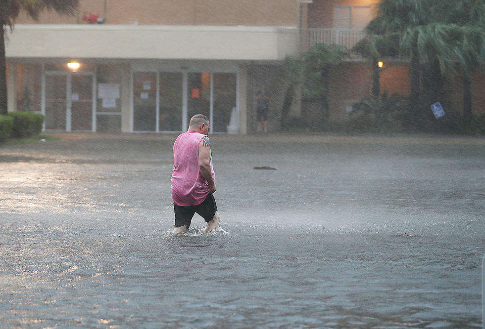
The National Weather Service has issued a Flash Flood Watch for Eastern Louisiana through Sunday morning. Tropical Cyclone 3 could dump 6-10 inches of rain on Louisiana.
Chief Meteorologist Rob Perillo from the Storm Team 3 Weather Center at KATC Explains
Acadiana will get rain but widespread flooding is not anticipated. High winds are not forecasted for Acadiana. Offshore wind gusts could reach 50 mph.
Tides up 1-3 feet
Although the system will move out of the area by Sunday, lingering deep tropical moisture will ensure a good chance of showers and storms for the Acadiana area Sunday into next week. -Chief Meteorologist Rob Perillo from the Storm Team 3 Weather Center at KATC
[KATC]
Things You Want or Need After Surviving A Hurricane
More From 99.9 KTDY


