
Weather Service: Here’s Timing For Louisiana Severe Storms Sunday
As you rise and shine on this first Sunday of January in Louisiana I hope you're enjoying the calm. If you live in Monroe, Shreveport, Lafayette, Lake Charles, or Baton Rouge, this truly is the calm before the storm. If you weren't aware we have big changes coming in our weather forecast. There is a significant severe storm threat statewide today and that will be followed by the coldest temperatures Louisiana has seen so far this winter season.
For the colder weather, there are certain preparations you can make. You can make sure your car is topped off with coolant. Your windshield wiper fluids contain something, like alcohol, that will help your wipers cut through the frost. You can also cover your plants, wrap your pipes, and make sure your pets have shelter from the cold.

The preparations for severe weather are a lot different. About the only thing you can do to protect yourself and your family from the strength of Mother Nature at her worst is to know where you'd go to hide from the wind. That's usually an interior room, such as a bathroom or closet away from any windows.
The other important thing you can do in preparation for strong storms and possible tornadoes is be informed. So let's cover the basics for today's projected severe weather outbreak.
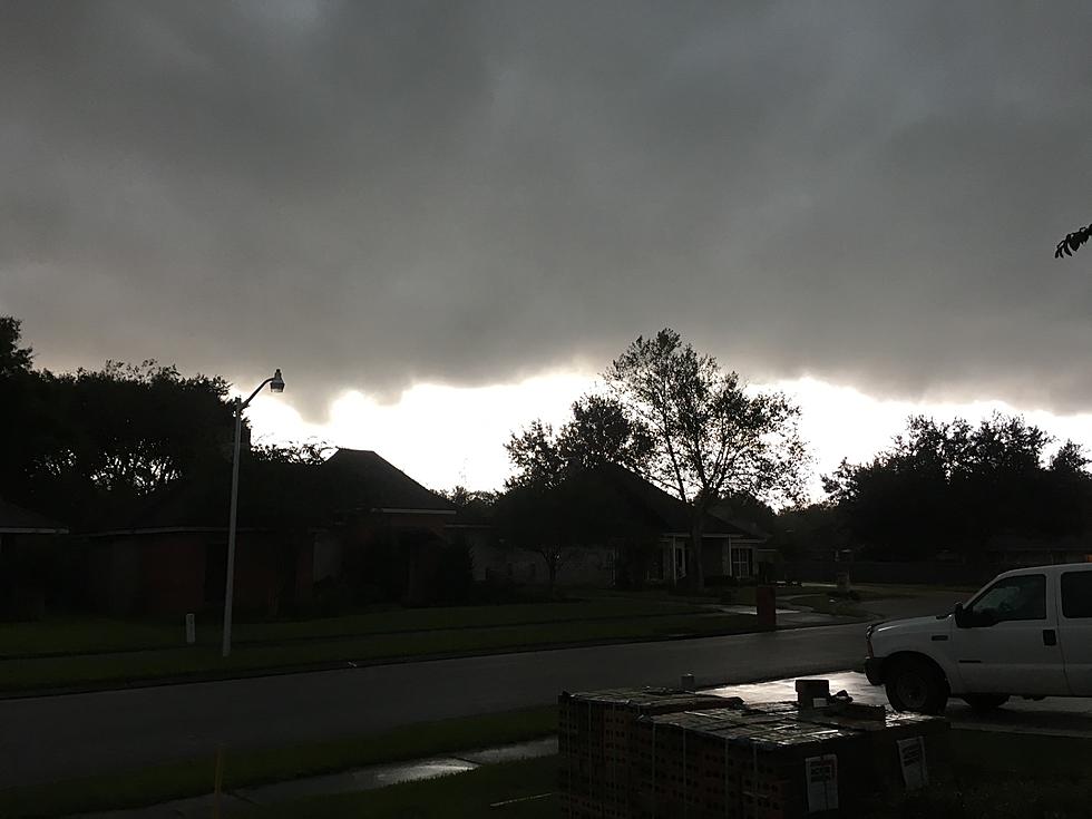
A strong cold front is pushing toward Louisiana this morning. Ahead of that front, a squall line of strong to severe thunderstorms is expected to form. In that line and ahead of the front conditions are favorable for the development of strong thunderstorms. The Storm Prediction Center has placed most of Louisiana at a slight risk of severe storms.

The slight risk is the area shaded in yellow, the amber or yolk-like circle that you see over northeastern Louisiana and western Mississippi is where forecasters believe the greatest threat for severe weather will be today and tonight.
Forecasters suggest rainfall rates during the height of these storms could cause problems for municipal drainage and storm drain systems across the state. Therefore the Weather Prediction Center has placed much of Louisiana at risk for an Excessive Rainfall event. That's when it rains really hard in a short period of time and water fills up the streets.

Now that we know what to expect, here is when you can expect the worst of the weather to move through your part of the state. Based on forecasts from the National Weather Service it appears as though eastern Texas will be under the gun from Noon until about 5 pm.
The leading edge of the heavy storms should begin to approach the western parishes of Louisiana about sundown. If you live in Leesville or Deridder chances are your storms will arrive between 4 pm and 8 pm. If you live in Lake Charles, Jennings, Oakdale, or Bunkie you can expect your storm threat to escalate between 6 pm and 9 pm.

If you live a little further to the east, say in Lafayette, Crowley, or Opelousas forecasters believe the best chance of severe storms will happen between 7 pm and 10 pm this evening. And if you live in St Martin, Iberia, or St Mary Parishes the worst of the weather could arrive at your doorstep as soon as 8 pm but more likely between 8 pm and 10 pm.
Here's how that looks on a map.

If the timing on the forecast holds it appears that it will most of the heavier storms will be out of Louisiana by midnight. Conditions will be improving from the west but they will also become colder quickly from the west and northwest.

If you look at the temperature grid from the National Weather Service you can see how the drastic drop in temperature is noted. For example, the Noon temperature in Lafayette is expected to be in the low 70s by 6 pm it's possible temperatures could be in the lower 50s.
A Cold Weather Advisory has been posted for the I-10 corridor from 3 am until 10 am Monday morning. The cold temperatures combined with strong winds could combine to create feels-like temperatures of 15 to 25 degrees.

This is cold enough to cause hypothermia and or frostbite if unprotected skin is subject to prolonged exposure. The use of hats gloves and other cold-weather clothing is suggested for those who will be working outdoors.
How Many Louisiana Brands Can You Identify Based Solely On Their Advertising Slogan?
Gallery Credit: Bruce Mikels
More From 99.9 KTDY


