Lafayette Then And Now: 9 Familiar Places Some 20 Years Apart
(KMDL-FM) There is no better way to understand how far forward you've come than by looking back. Here in South Louisiana, we've been poised for growth and growing for the three decades that I have lived here. Yet, most of the time, as I complain about this or that, I forget how it used to be. So, let's go back to how it used to be.
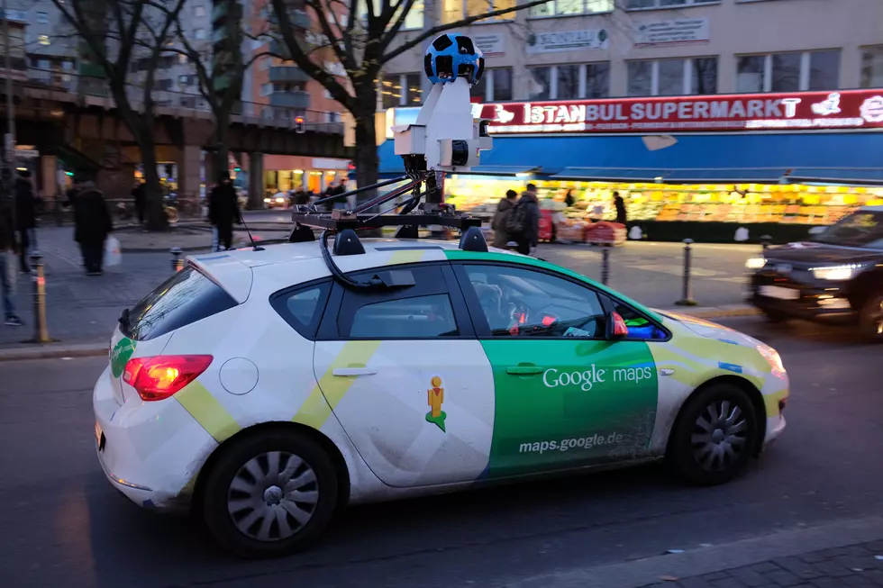
Google Maps Is Keeping a Historic Record of Life in South Louisiana
With the aid of Google Maps and its Street View technology, we have set up nine different snapshots of life in Lafayette, Acadiana, South Louisiana in general. In most cases, we've tried to use the same camera angle despite the difference in time the photo was snapped.
READ MORE: Use Google Earth to Simulate Flying A Plane Over Louisiana
In some cases, we could; in other cases, mainly because roadways had not been built for a Google camera car to travel down, we simply opted for an angle that was close.
When Is the Last Time a Google Car Mapped Lafayette?
Google doesn't offer that information, but they stay fairly current, especially on newer roads and newer construction. The latest photos that we found in our search were from 2025 and most of the oldest photos only went back as far as 2008.
Our focus in this article was locations that would be familiar to most people. In many cases, we have chronicled where shopping centers are now or major construction changes in the infrastructure. The more you look, the more you realize just how much our area has grown in the past 20 to 30 years, and we still have a Buc-ee's coming.
READ MORE: 30 Lafayette Memories Over the Past 30 Years - Do You Remember?
Hopefully this takes you back a few years, and maybe, just maybe, for a few seconds when you're scrolling, you can remember the good ol' days. You know the days when you didn't wake up with your back hurting.
Lafayette Then and Now - A Look at Familiar Places Almost 20 Years Apart
More From 99.9 KTDY