Eeriest Site Ahead of Hurricane Ian—Tampa Bay Emptied
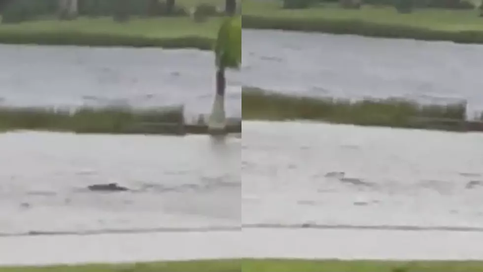
The day before monster Hurricane Ian hit Florida's Fort Meyers area, Tampa Bay emptied causing the eeriest sight many had ever seen. Hurricane Ian literally exposed sand and silt on the bottom of Tampa Bay.
The powerful force of Hurricane Ian drove water out of Tampa Bay the day prior to landfall. The last time the phenomenon happened was in 2017 for Hurricane Irma.
Because hurricane winds blow counterclockwise, the winds at the northern edge of Ian’s circular system were blowing from east to west with such force that they pushed bay water into the Gulf of Mexico. -Associate Press
Authorities asked residents to stay off the drained bay bottom, but people were so amazed they did anyway.
When a hurricane takes water out of Tampa Bay at this magnitude, experts suggest this generally means a storm surge of nearly 20 feet from the impending storm.
Water eventually refilled the bay as category 4 Hurricane Ian destroyed the Fort Meyers area and beyond. Meteorologists called Hurricane Ian, "Florida's Katrina".
Cayo Costa, a barrier island west of Fort Meyers recorded sustained wind speeds of 150 mph on Wednesday. That put Hurricane Ian just shy of a category 5 storm.
More than 1.5 million people are currently without power according to PowerOutage.us.
Now a tropical storm, slow-moving Ian is still delivering large amounts of rain and is headed for the Carolinas and will eventually end in West Virginia.
LOOK: The most expensive weather and climate disasters in recent decades
Gallery Credit: KATELYN LEBOFF
More From 99.9 KTDY