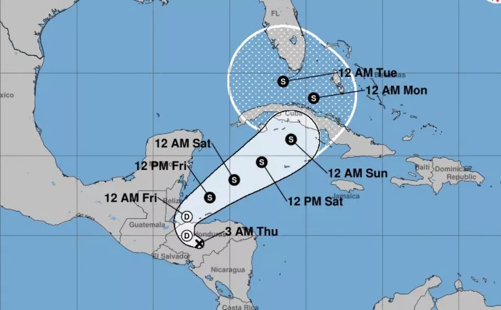
Track of Tropical Cyclone Eta Continues to be Uncertain
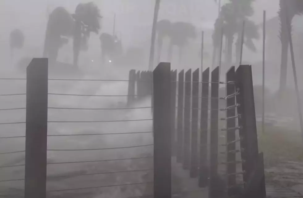
Normally, a tropical depression spinning over the middle of Honduras on the fifth of November would not be an attention grabber for South Louisiana and the residents of the northern Gulf Coast. But hurricane season 2020 is different. Louisiana's already set the record for landfalling cyclones in a single season and some of us are just gun shy that we won't be adding one more.
If we do add another tropical landfall to the history books for Louisiana this season, I don't think it will be Eta that does it. The system is still bringing torrential rains to Central America, some reports rainfall totals of over 40 inches have been noted during the storm's arduous track across that part of the world.
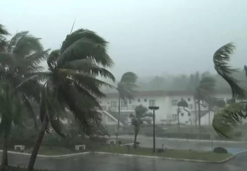
The National Hurricane Center forecast track does show Eta or whatever remains of the system exiting the coast and returning to the warm waters of the Caribbean Sea early tomorrow. The system is expected to strengthen back to tropical storm status and then affect the island nation of Cuba over the weekend.
From there, forecasters with the Hurricane Center believe the system will encroach on South Florida, namely the Florida Keys and Key West. If the track guidance is accurate Duval Street should be experiencing tropical storm conditions by late Monday and certainly on Tuesday.
Meanwhile, tropical guidance models are beginning to show a wide spread of solutions over time. In other words, they really don't have a sound read on where this system will track or if it will even be a system for much longer. Regardless, the system is still worth keeping an eye on until it goes away. I hope that day will come very soon.
Life Hacks for Every person Who wears Glasses
More From 99.9 KTDY