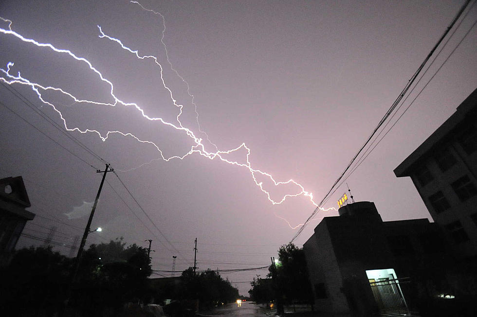
Severe weather, including tornadoes and flash flooding, could be headed to the Bayou State Saturday
There’s a big threat for severe weather on Saturday. State Climatologist Barry Keim says ingredients are in place for numerous thunderstorms, some of them could produce a significant severe weather event.
“The storm prediction center has north Louisiana in the moderate risk zone for strong winds, hail and the potential for tornadoes. And this includes even severe tornadoes.”
Central Louisiana is under an enhanced threat for severe weather, while south Louisiana is under a slight risk. Keim says flash flooding is also possible…
“There could also be rain totals anywhere from 2-2.5 inches and some of this could occur in some deluges along with these severe thunderstorms and other forms of severe weather.”
Saturday’s stormy weather will result in cooler temperatures on Sunday with high temperatures in the 60s. But Keim says north Louisiana especially should be on the lookout for severe weather.
“Where we are looking at high winds, potential for some flash flooding and the biggest risk obviously is going to be tornadoes and there could even be some severe tornadoes embedded in these thunderstorms.”

More From 99.9 KTDY


