El Nino Conditions Could Mean Good News For 2019 Hurricane Season
Maybe this is Mother Nature's version of the Butterfly Effect. Although the climate phenomenon known as El Nino certainly covers a much larger area than any butterfly's wings I've ever seen.
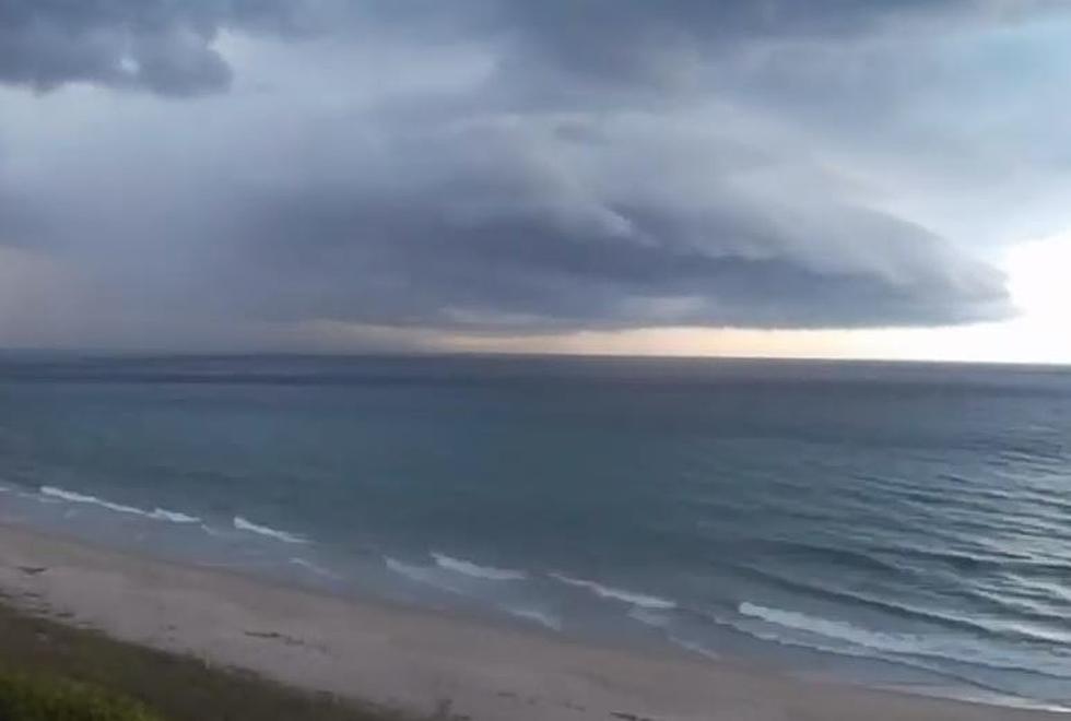
This is the time of year when you start to hear meteorologists using terms like El Nino a lot more often. That's because we are roughly two weeks away from the beginning of the 2019 Atlantic Hurricane Season. The season in the Pacific Ocean actually begins today.
We mention the Pacific Ocean because that's where the El Nino phenomenon develops. Oddly enough what happens in the Pacific Ocean plays a very large part in whether or not the Atlantic Basin has an active or less than active hurricane season.
Here's why.
El Nino conditions in the Pacific generally create a lot of wind shear over the tropical Atlantic. These strong winds aloft tend to make the formation of hurricanes and tropical systems in the Atlantic, Caribbean, and Gulf of Mexico less likely.
The fact that El Nino conditions are already in place and NOAA is suggesting there is a 60% likelihood of those conditions staying in place through late Summer actually is good news for Louisiana.
Forecasters with NOAA are expected to release their pre-season hurricane forecast next Thursday, May 23rd. Speculation is that forecasters will be calling for a less active season that we experienced in 2018. That, of course, is pure speculation and we all know that it only takes one tropical system to change lives along the coast for decades.
More From 99.9 KTDY