More Showers Across Acadiana Today, Sunny Hot For Weekend
Additional rainfall totals of an inch to two inches will be the exception rather than the rule in the latest round of thunderstorms that are forecast to move across Acadiana during the day today and into the evening hours. While there will be showers and some thunderstorms we should not see a repeat of Thursday morning's torrential downpours.
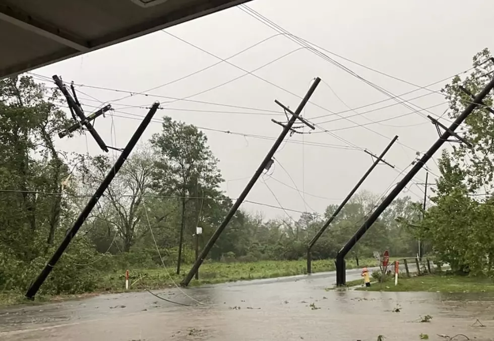
Yesterday's heavy rains dropped anywhere from four to twelve inches of rain on parts of Acadiana. Those heavy downpours over a short period of time flooded streets, homes, and some businesses before the sun finally came out late yesterday.
The difference between today's forecasted storms and yesterday's will be forward motion. Thursday's storms moved very slowly and that's what contributed to the large rainfall totals that were observed from Lake Charles to Baton Rouge. Today's showers and storms will likely be moving faster which should mean lower rainfall totals in general.
The outlook for the weekend will feel very typical for June in South Louisiana. We'll have high temperatures in the low to middle 90-degree range both Saturday and Sunday. There will also be a chance of scattered showers or thundershowers each day.
More From 99.9 KTDY