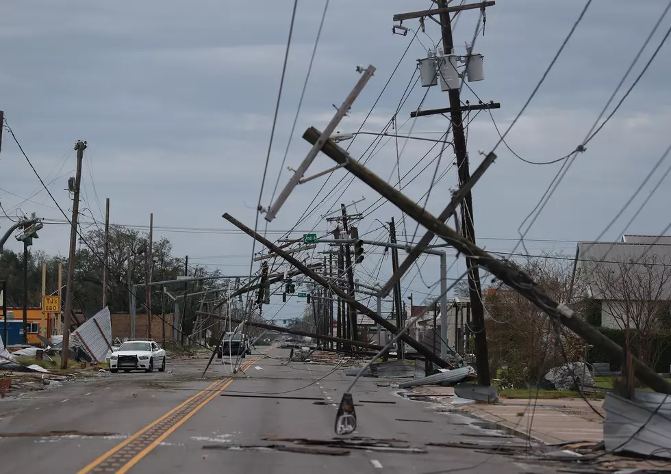
Louisiana Bracing for Storms as System Skirts Coast
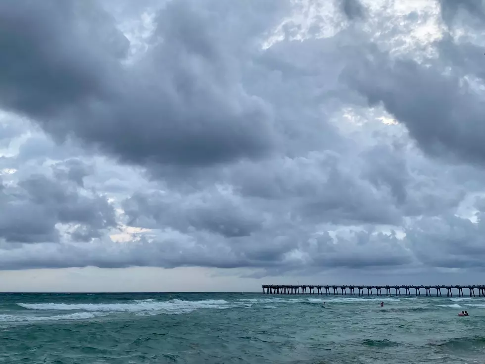
A weather system with potential tropical development is currently skirting along the northern Gulf Coast and will likely bring showers and thunderstorms to most of southern Louisiana by tonight and Monday. Forecasters with the National Hurricane Center are not really giving the system a strong chance to develop. But, very warm waters beneath the system could fuel intensification as time goes by.

That's the latest five-day projection from the National Hurricane Center. In the graphic, you can see forecasters have the system situated just south of Acadiana East, also known as Orange Beach, Destin, and Fort Walton. Just check the license plates of the cars in your condo parking lot, you'll see you're among friends.

That yellow "X" on the map is an approximation of the location of a trough of low pressure. It's not very strong at all but strong enough to kick off showers and storms this morning along the Redneck Riviera. Most of those showers and storms are drifting westward. By tonight, rain chances in places like Lafayette and Lake Charles will increase dramatically.
Ahead of those showers anticipated later tonight and tomorrow most of the region will bake in extreme heat for one more afternoon. Rain chances across the region that includes Lafayette and Lake Charles will have only a 30% chance of showers. By tonight, that blossoms to a 60% chance of rain and storms and a 70% probability of storms on Monday.

The Storm Prediction Center is not forecasting severe weather with this system, yet. That could occur over time. The extended outlook for the area holds a rather large chance of rain and storms all the way through next weekend.
The good news from this storm system is that it should provide enough rain and cloud cover to keep temperatures at or below normal for this time of year. The anticipated rainfall should also ease the extreme drought conditions that much of the area has been experiencing.

In case you're wondering the "red" is where the drought conditions are the worst. The orange-colored areas are extremely dry as well. Will the anticipated rainfall be enough to "officially" break the drought? We will just have to wait and see how the week unfolds.
Meanwhile, there is another tropical entity that bears watching. Fortunately for South Louisiana, we will be able to watch from a distance. A strong tropical wave is moving closer to the Leeward Islands this morning. This system has a very strong possibility of becoming a named storm. Should it get a name it would be called Bonnie.

Forecasters believe this system will stay well to the south of the Gulf of Mexico and will eventually be an issue for residents of Central America. But any landfall in Central America is several days away.
19 Straight Up Facts You Can't Argue with About Louisiana
Gallery Credit: Bruce Mikells
More From 99.9 KTDY