Laura/Marco 10:00 AM Update for Sunday, August 23
Acadiana continues to brace for two storms that appear to be heading our way in the next few days.
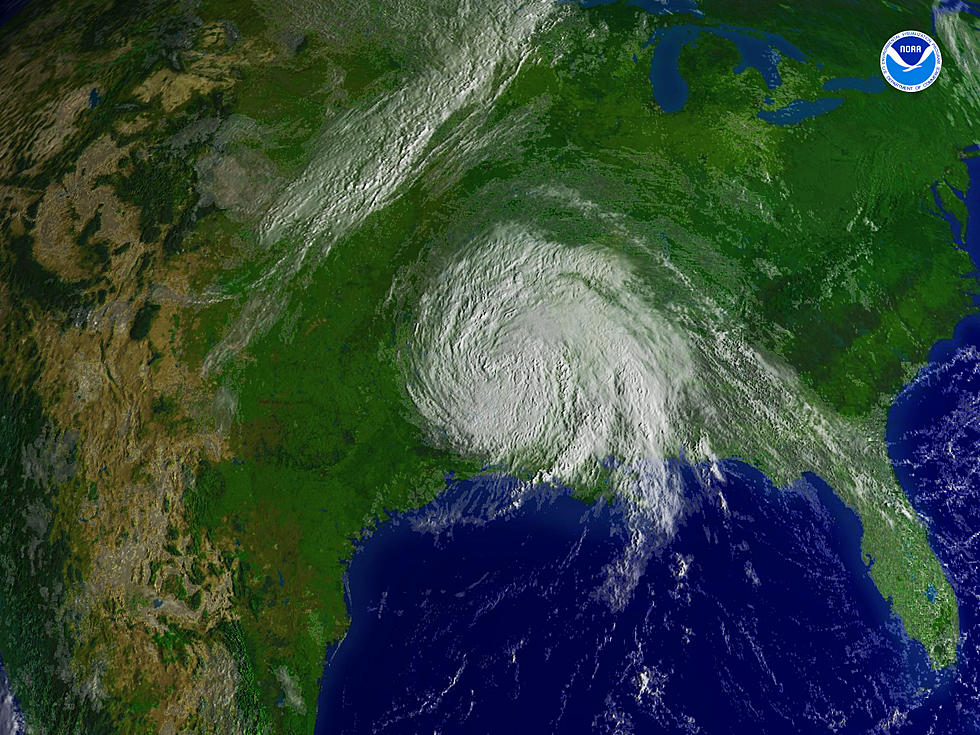
As of 10:00 am, Tropical Storm Marco has made its way into the Gulf of Mexico and has maximum sustained winds at 70 mph. A hurricane warning is in effect for Morgan City to the mouth of the Pearl River.
Right now, Marco is moving north-northwest near 14 mph. On the forecast track, the storm will cross central Gulf of Mexico today and will approach southeastern Louisiana on Monday. There appears to be some strengthening and it is expected to become a hurricane later today, however, rapid weakening is expected after Marco moves inland.
More specifically, the path appears to be taking it near the mouth of the Mississippi River around 1:00 pm on Monday. Here in Acadiana, we should begin feeling the winds and associated rains by Monday afternoon with the bulk of the storm's effects hitting us in the overnight hours.
The storm is expected to take a gradual turn toward the west once it makes landfall and skirt across Acadiana before it weakens.
Rainfall amounts are projected anywhere from 2-4 inches across our region. Storm surge values will be 2-4 feet, depending on where the center crosses.
And then, of course, we won't be able to let our guard down as we should expect to feel Laura's impact by Wednesday afternoon.
The National Hurricane Center's 10 am track shows Laura hitting the coast as a Category 2 hurricane on early Thursday. Models suggest gusts over 90 mph.
The projected path of Laura has shifted slightly to the west of Lafayette. Some models are showing the eye hitting as far west as the Texas-Louisiana state line.
Of course, there is plenty of time for the path and strength or weakness of this storm to change significantly.
Right now, Laura is dumping rain over The Dominican Republic and Haiti and has maximum sustained winds at 50 mph.
All plans for these storms should be completed by the end of the day today (Sunday).
And make sure you have this station's app, as we'll be sending alerts straight to your phone with all the latest and breaking news in regards to both these storms.
To check out an in-depth look at what KATC-TV3's meteorologists have to say on these storms, click here.
And to view the latest public advisories from the National Weather Service, click here.

TIPS: Here's how you can prepare for power outages
More From 99.9 KTDY


