Louisiana ‘Cold Snap’ Will Drop Temperatures Tonight
Louisiana's mixed bag of weather will spill out from the chaotic St Patrick's Day weekend into the workweek. Cities such as New Orleans, Baton Rouge, Shreveport, and Lafayette, had a fairly nice day on Saturday. However, Sunday was a 180-degree opposite. Much of the state was inundated by heavy rains, strong storms, and frequent downpours on Sunday.
Forecasters with the National Weather Service Office in Lake Charles say now that the rains have moved on we can expect abundant sunshine over the next several days. That brilliant sunshine will be accented by much cooler temperatures too. The current forecast suggests that temperatures across Louisiana will remain in the low 60s or upper 50s during the day today and by Tuesday morning most of us will consider it to feel "downright cold".
Temperatures along I-10 and southward toward Louisiana's coastlines should drop to near 40 degrees tonight. Some locations will see temperatures that fall into the upper 30s.
Louisiana's Last Chance to Enjoy "Gumbo Weather" This Week
For much of South Louisiana, these cold temperatures should not pose a problem for any new springtime planting you may have done, but if you're north of US 190, you might want to consider protecting your tender vegetation.
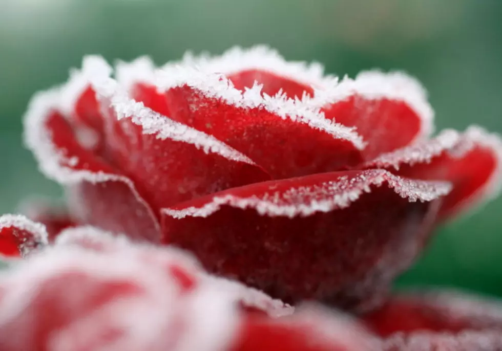
Yes, that is a Frost Advisory for St Landry, Rapides, Avoyelles, and Evangeline Parishes for Tuesday morning. Forecasters suggest that you cover your outdoor plants or newly planted vegetation to protect them from the chill.
Temperatures will moderate as the week progresses. By Wednesday morning temperatures will be five to seven degrees warmer but the afternoon temperatures will still be quite chilly. The daytime high for Wednesday will reach into the upper 60s which shouldn't feel that cold in the direct sunlight. However, if you're in the shadows or the breeze, you'll probably still want to have a jacket.
Louisiana's Next Storm Threat Arrives on Thursday
Louisiana's next weather maker will move into the area late in the day on Wednesday. However, the system won't bring significant rain threats to the area until Thursday afternoon. The outlook as of now does not suggest severe storms, but that could change. It does look as if Thursday's storm system will clear the area by Friday so the upcoming weekend should be spectacular.
10 Commandments of Gumbo
Gallery Credit: Jude Walker
More From 99.9 KTDY

