Gulf System Upgraded to Tropical Storm Hanna
Earlier in the week forecasters were suggesting that a tropical wave near Cuba only had a small chance of becoming a tropical cyclone. Last night that weather system earned the moniker Tropical Storm Hanna. That just goes to show you how quickly tropical systems can strengthen and grow. That's why we try to give as much of a heads up as we can.
Preparations for the storm and its impacts are already being made along Louisiana's coastline. However, our state won't see the strongest impacts of the system as it moves westward toward a landfall on the middle to lower Texas coast during the day on Saturday.
Coastal Flood Advisories have been posted for Cameron, Iberia, St. Mary, and Vermilion Parishes as the storm will certainly increase wave action across those shorelines. There is also a significant rain threat along and just north of the coast from now through late Saturday.
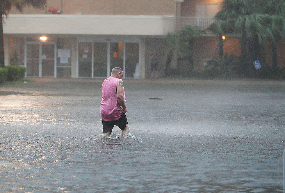
Forecasters don't think this will be a washout kind of tropical storm but we will see some fast-moving tropical downpours over the next 48 hours that could cause some localized flooding in spots.
The system should cross the Texas coast Saturday afternoon and will begin to dissipate following landfall. However, all that moisture associated with the storm will have to go somewhere so that's why our rain chances will remain high for the weekend.
KEEP READING: Get answers to 51 of the most frequently asked weather questions...
More From 99.9 KTDY


