Cool Front Should Quash Tropical Development in the Gulf
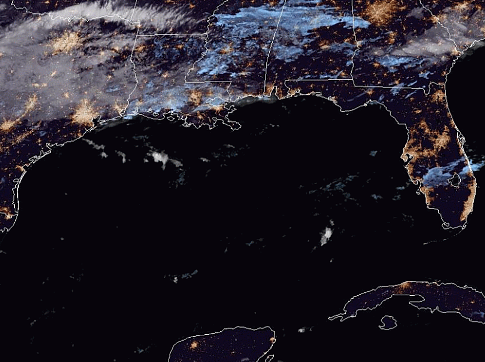
There are still almost two months left of the 2019 Atlantic Hurricane Season and while activity in the tropics has certainly slowed down compared to a week or so ago, it's not totally quiet. There is an area of disturbed weather with the potential for tropical development that is located near the Yucatan Peninsula this morning.
Forecasters with the National Hurricane Center are keeping a watchful eye on that system but as of now the chances for development appear to be slight. In fact, forecasters only give the system a 10% probability of spinning up into a tropical cyclone over the next five days.
It is also expected that an approaching cold front that should bring cooler temperatures to Louisiana by Monday will help the system well to the south of Louisiana coastline. The forecast track actually pushes the system further to the south in response to the approaching frontal system.
As far as "cold" in the term cold front is concerned, cool might be a more appropriate term to use. The frontal system should push into south Louisiana during the day on Monday. Most of us will notice a bit of a breeze from the north during the day on Monday plus an absence of humidity.
Tuesday morning temperatures across the area could drop into the lower 60s but don't expect it to get much cooler than that, at least with this frontal system. Those "actually cold enough to wear a coat" temperatures won't show up until next weekend, October 12th and 13th when long-range forecasts have temperatures falling to near 50 degrees in some locales north of I-10.
More From 99.9 KTDY