Tropical Depression 12 Forms
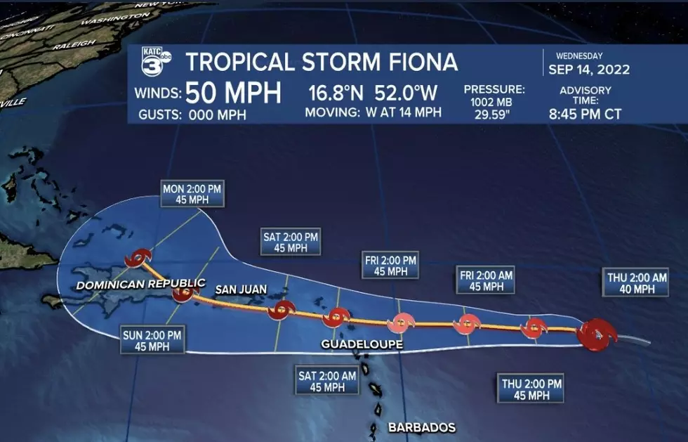
**(Update) Late Sunday evening the National Hurricane Center declared that an area of disturbed weather located in the Southern Bahamas had developed into a tropical depression. The system has been designated as Tropical Depression 12.
(Original Story) An area of showers and thunderstorms located in the southern Bahamas just might be the 2015 hurricane season's last gasp. It could be quite a gasp if forecasters are correct. The National Hurricane Center is now giving this area of disturbed weather a 70% probability of developing into a tropical cyclone within the next two days.
Should this system develop into a tropical storm it would be given the name Kate. Forecasters are seeing a defined area of circulation and hurricane hunter aircraft are scheduled to fly into the system during the day on Monday.
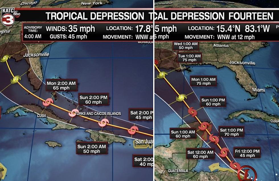
The threat from this system at this time is mainly heavy rains for the Bahamas. Forecast models do not suggest at this time that this system will pose a threat for the southeast coast of the United States. The current motion of the system might bring the center of circulation close to the Florida or South Carolina coast but a frontal system pushing across the southern U.S. today is expected to move the system back out to sea.
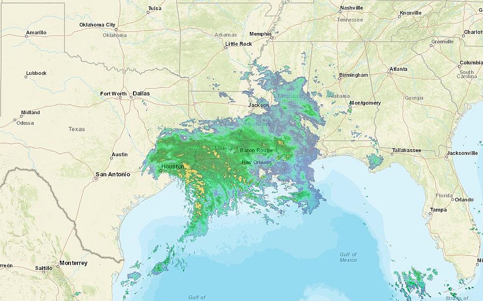
An area of shower and thunderstorms off the Texas coast and just south of Louisiana has dissipated and is not expected to create any problems for the Northern Gulf Coast. The long range forecast for South Louisiana calls for a small chance of showers Wednesday and Thursday with nice weather moving back into the area for the weekend.
More From 99.9 KTDY


