We were also tempted to note that Baton Rouge is a red flag in general, but at the very least, please hold on to your wives, children, and wallets when the legislature is in session.
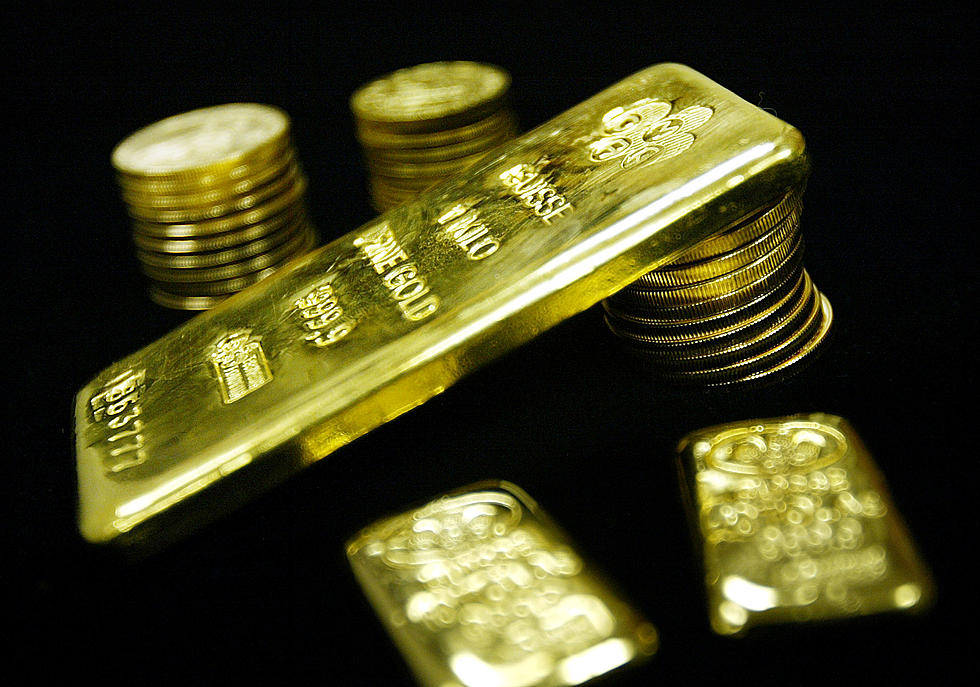
According to treasure hunters, Jean Lafitte has numerous buried treasure throughout Louisiana with six potential hidden jackpots right here in Acadiana.
It's no secret that Louisiana has amazing cooking, nor is it a secret that our food has been recognized quite a bit on various cooking and food shows you can see on TV.
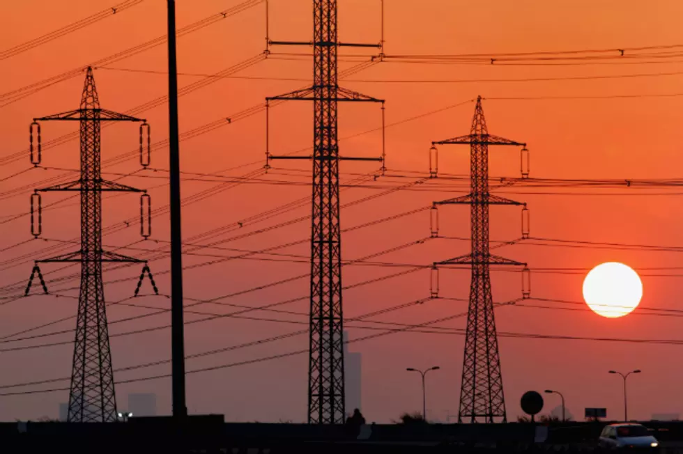
SLEMCO customers in Louisiana are frustrated over the significant jump in recent electric bills. The company has responded with a message from its employees.
Louisiana has the highest percentage of residents who have been unable to pay the full amount of their energy bill at least once in the last 12 months, according to a new report from HelpAdvisor.com.
Forecasters have adjust the timing on Saturday's soaking rains across Louisiana. Here's where and when to expect the wettest weather for where you live.
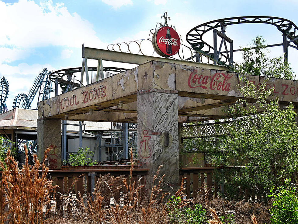
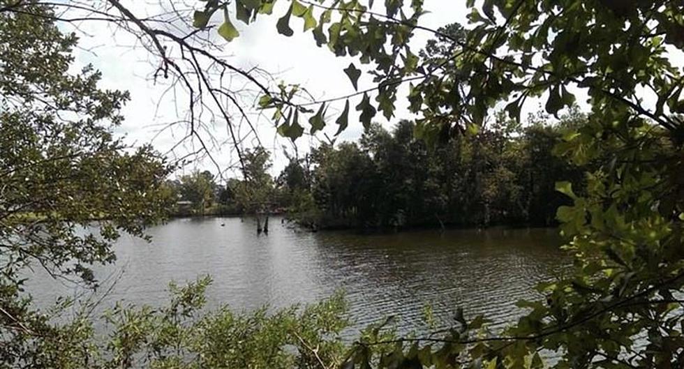
There are a ton of places in Louisiana that, for various reasons, have been completely abandoned. And there are a ton of people who love to explore them.
Louisiana is facing an unprecedented amount of saltwater intrusion into freshwater systems, leaving folks worried about its impact on their homes in the impacted area.
Two Months ago Matt Hengst and Jennifer Blackie set out on a pretty daunting challenge...they decided to canoe the entire Mississippi River all the way to the Gulf of Mexico.
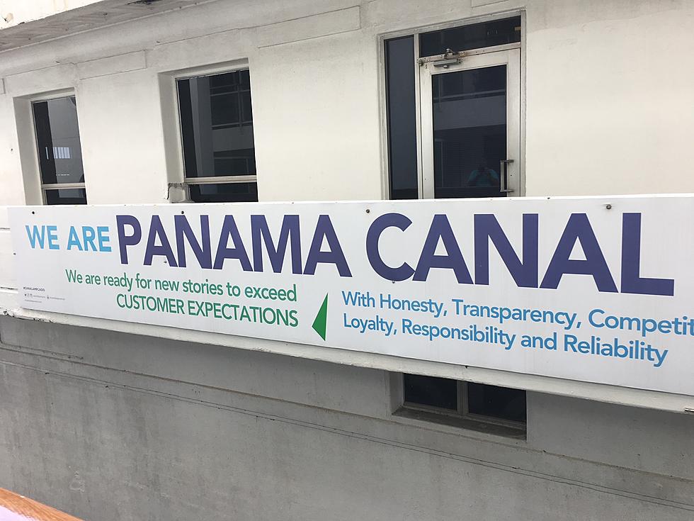
As ocean going vessels are getting larger some cruise fans are thinking smaller and looking to America's inland waterways as their next vacation destination.
In south Louisiana, we sure do love a good bonfire. But there's probably no place around that does it as big as the River Parishes along the Mississippi River.