Severe Weather Likely Across The State Today
The Storm Prediction Center very rarely issues a forecast with a better than enhanced chance of severe weather. Today is one of those exceptions. As you can see by the map to the left, a good portion of our state is in the moderate risk category for severe weather. Most of the rest of the state is in the enhanced risk category while the remainder of Louisiana falls under the slight and marginal risk categories.
What this means is the threat of strong thunderstorms reaching severe limits is possible in some areas and very likely in others. The current regional radar scan from the National Weather Service will give you an idea of where the heaviest weather is located in relation to your particular location.
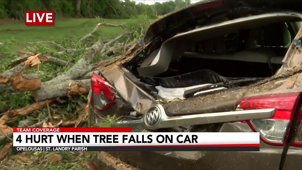
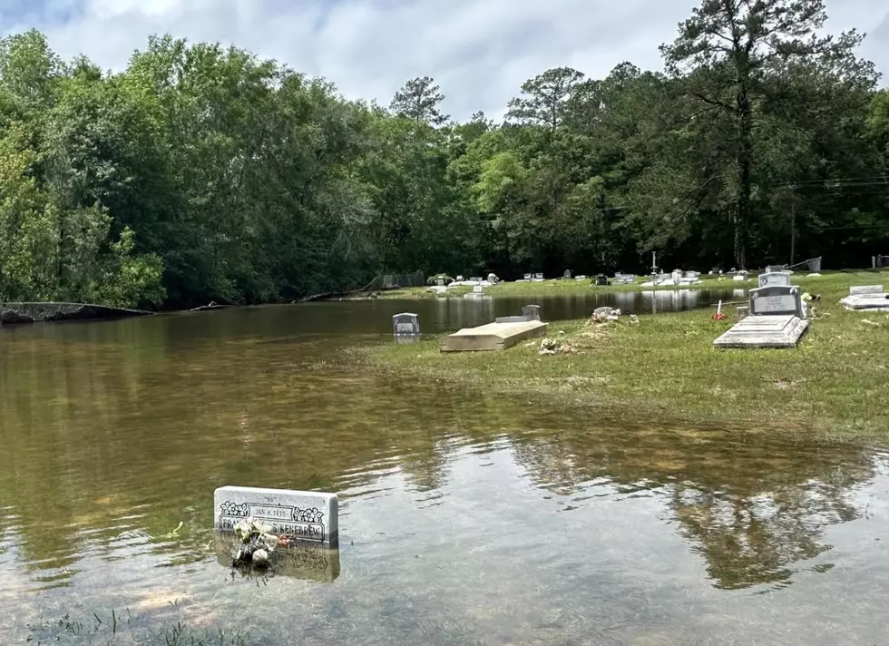
National Weather Service forecasters say over the next 12 hours or so many of us will see storms that produce damaging winds, heavy downpours, frequent lightning, and there will be a possibility of tornadoes. As of 4 AM there have not been any severe weather watches or warnings posted for Louisiana but that will likely change over the course of the morning hours. The one exception is a high wind advisory that is posted for much of the state from early this morning through tomorrow.
Once this frontal system and accompanying rain event move off to the east later this afternoon Louisiana's weather will calm down considerably. There will still be gusty winds from the northwest and temperatures will be considerably cooler than they have been over the past several days. The outlook for Wednesday through Saturday is calling for mostly sunny skies and slightly cooler than average temperatures.
More From 99.9 KTDY


