Levee Official: Corps of Engineers Did Not Consider Parish Levees on Inundation Maps
In a statement issued by North Lafourche Conservation, Levee and Drainage District Executive Director Dwayne Bourgeois, he reveals that the U.S. Army Corps of Engineers did not consider the parish's levees when they produced the inundation map released last week.
"They were unaware of the levees we have in some of the areas where they show having 1-5 or 5-10 feet of water over ground in Raceland, Mathews, Lockport and Larose," said Bourgeois in the statement. "They did not therefore include them in their analysis and mapping effort."
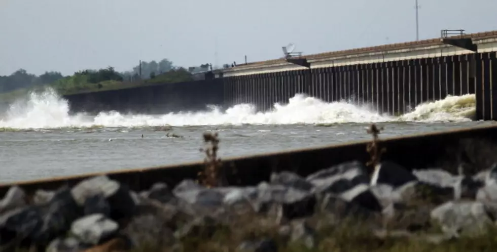
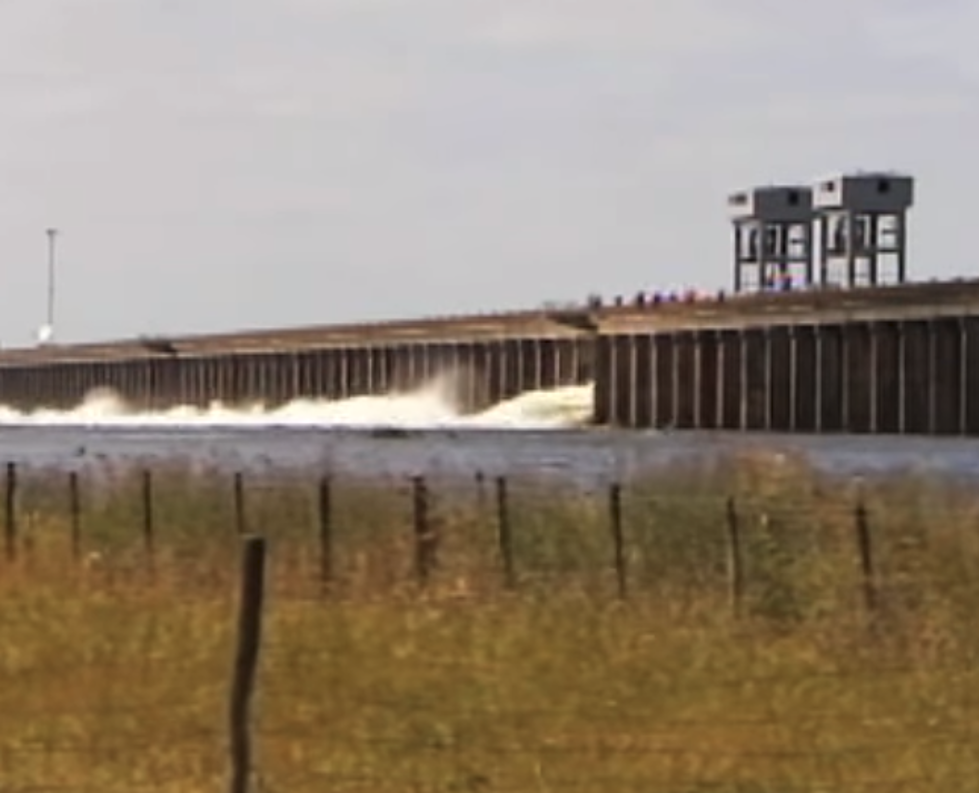
Bourgeois' statement also went on to say, "What we are really looking at is the potential of having a sustained three-foot water surface elevation acting on all of our levees in the event of the 50% opening of the Morganza Spillway. Our levees have withstood this before. Levee elevations are typically higher than this three-foot potential water elevation. The two areas west of Mathews and Lockport are the Raceland prairie area where the ground elevations are below sea level, but, the areas are surrounded by ring levees that exceed five-foot elevation. So, they would not be flooded by a three-foot water elevation on the outside."
Both Bourgeois (in his statement) and Lafourche Parish President Charlotte Randolph caution residents, however, not to dismiss the entire threat of flooding, especially those not protected by levees.
"While this is certainly welcomed news, we caution residents to not let their guard down," said President Randolph. "Like we have been saying all week, at this point we are simply asking residents to stay informed. While this news is encouraging, there are so many variables at work here that our circumstances could change at any time."
You can view Bourgeois' statement in its entirety, as well as the inundation map at www.lafourchegov.org. There, you will also find an interactive elevation map from the LSU AgCenter, allowing you to pinpoint any location in the state and show its elevation.
More From 99.9 KTDY

![Shocking Photos Near LSU Show How High The Mississippi Has Risen [Pictures]](http://townsquare.media/site/33/files/2017/10/LSU-Campus.jpg?w=980&q=75)